


Description
The maps below represent the stars of Ptolemy's catalog along with bright stars according to modern catalogs.
Following Verbunt & van Gent [1], I have assumed that the epoch and equinox of Hipparchus's observations is JD 1,674,573 (in the year 128 BCE) and the equinox of Ptolemy's coordinates JD 1,771,298 (in the year 137 CE). The maps represent stars in the ecliptic and equatorial coordinate systems corresponding to Ptolemy's equinox:
| Julian Day | 1,771,298 |
| Besselian epoch | B137.5467… |
| Julian epoch | J137.5852… |
According to the IAU 2006 precession model, the obliquity of the ecliptic was close to 23°42'39" at Hipparchus's equinox and 23°40'41" at Ptolemy's. The Almagest assumes the value 23°51'20" (Jones [2], Ashworth [4, note 12]). The ecliptic coordinate lines on the maps correspond to the IAU value at Ptolemy's equinox.
Ptolemy's stars are affected by a mean longitude error of about 1°. One explanation is that Ptolemy took Hipparchus's observations (even though he claims to have performed them himself) and applied the inaccurate precession rate of 1° per century to reduce them to his own equinox. Some scholars have attempted to defend Ptolemy's integrity and explain the longitude error by a flaw in his solar theory. The first explanation is now believed to be true, as discussed in Verbunt & van Gent [1] and Rawlins [3].
Consequently, following [1] again, I have obtained the star positions by substracting 2°40' from Ptolemy's longitudes to restore them to Hipparchus's equinox, and precessed the result from Hipparchus's equinox to Ptolemy's using modern formulas. The coordinates obtained this way differ from the original ones by 1° of longitude on average, compensating for Ptolemy's error, and result in a better match with modern positions. The maps use the corrected coordinates.
Catalog versions
As explained on the catalog page, available versions of Ptolemy's catalog offer different coordinates and magnitudes for many stars. The maps represent star positions according the main versions of the catalog mentioned on that page. The legend on the maps associates colors with versions represented by letters according to the following table.
| Letter | Version |
|---|---|
| t | Toomer |
| p | Peters & Knobel |
| m | Manitius |
| b | Baily |
When multiple versions give the same coordinates, the colors follow the order of precedence set by the table and the differences in star magnitudes are not represented. The maps do not include all the information included in the data files on the catalog page, but they give an idea of the precision of the catalog and the uncertainty that affects some of its parts and some versions, especially in the southern constellations.
Map features
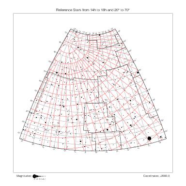
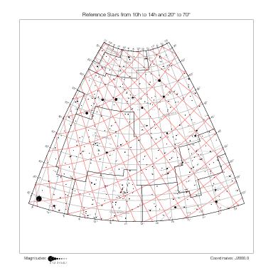
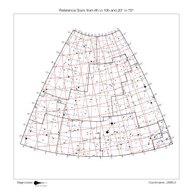
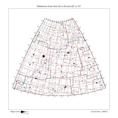
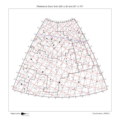
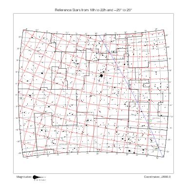
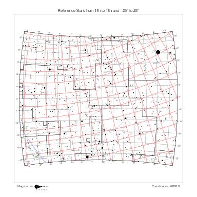
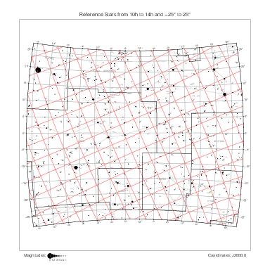
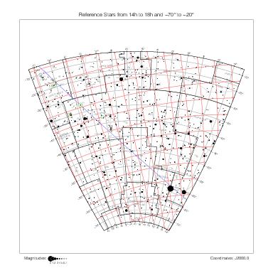
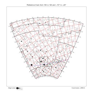
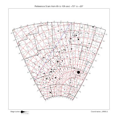
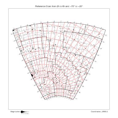
The representation of catalog stars and general features of the maps are described on the historical catalogs page.
A dotted line connects catalog stars with corresponding reference stars according to the identifications provided by VizieR catalog J/A+A/544/A31. Only the identifications with a quality flag value of 1 (secure identification with nearest star), 2 (secure identification, even though not nearest star), or 3 (probable identification) have been retained.
Ptolemy stars are labeled with an optional constellation abbreviation and number within the constellation. A tilde (~) character before the number or between the constellation abbreviation and the number denotes informes stars.
Each Ptolemy star is linked by a dotted line to its modern equivalent(s), if any, according to the identifications collected in ident_o.dat (see the identifications page for details).
Comparison with the reference maps shows the effect of precession on the coordinate systems after almost two millennia (for instance, compare the positions of the north pole on the Ursa Minor maps) and the displacement of high proper motion stars over this span of time (61 Cyg, μ Cas, α Cen, α Boo (Arcturus) are dramatic examples).
Maps by constellation
The maps below represent the stars of Ptolemy's catalog one constellation at a time.
The maps are enumerated in the same order as the constellations in Ptolemy's catalog. Larger constellations (Eridanus, Hydra, Argo Navis) and Serpens use more than one map. Maps covering Lynx, Coma Berenices, Columba, Monoceros, and Microscopium have been added even though they are not Ptolemaic constellations to ensure that every Ptolemy star is represented on at least one map.
Northern constellations
Ursa Minor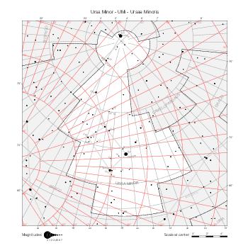
|
Ursa Major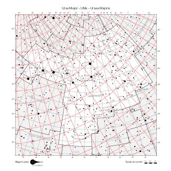
|
UMa (in Lynx)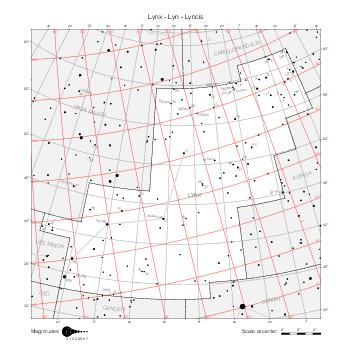
|
Draco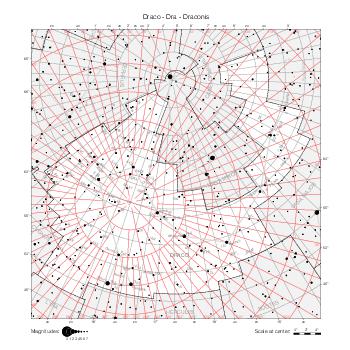
|
Cepheus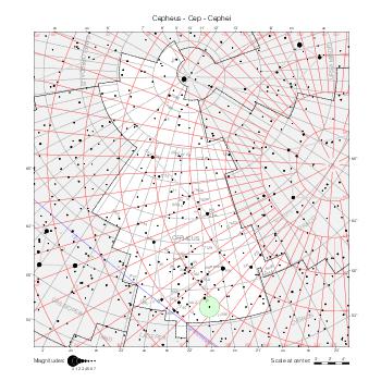
|
Boötes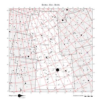
|
Corona Borealis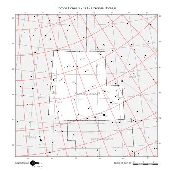
|
Hercules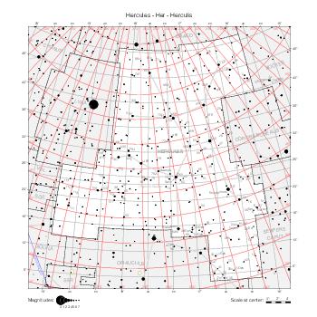
|
Lyra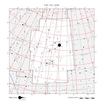
|
Cygnus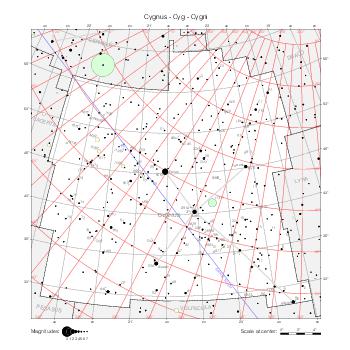
|
Cassiopeia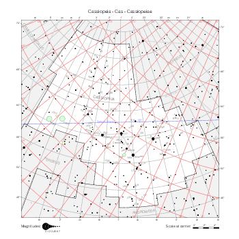
|
Perseus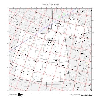
|
Auriga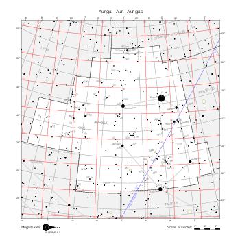
|
Ophiuchus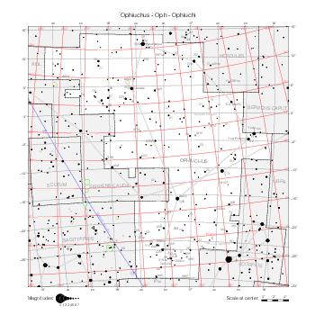
|
Serpens Caput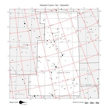
|
Serpens Cauda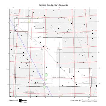
|
Sagitta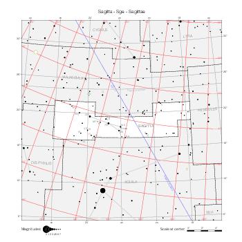
|
Aquila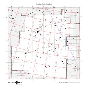
|
Delphinus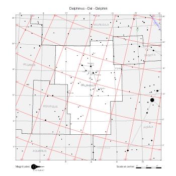
|
Equuleus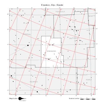
|
Pegasus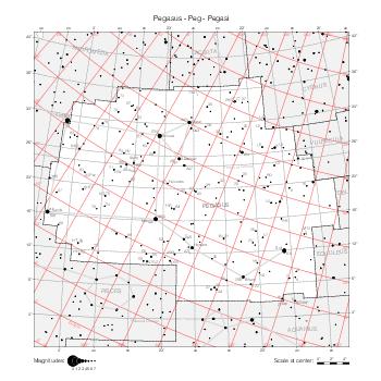
|
Andromeda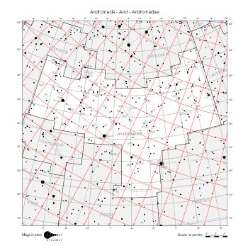
|
Triangulum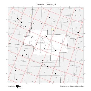
|
Zodiacal constellations
Aries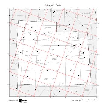
|
Taurus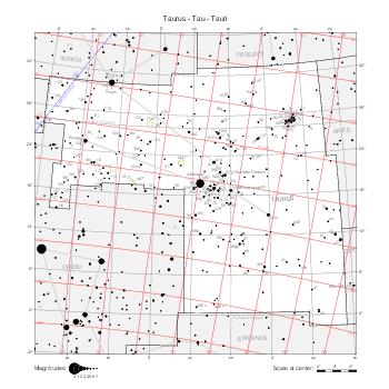
|
Gemini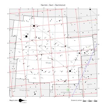
|
Cancer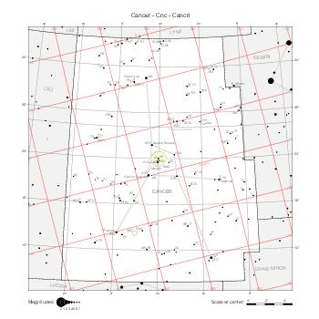
|
Leo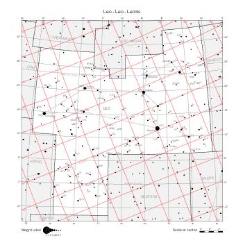
|
Leo (in Coma)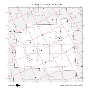
|
Virgo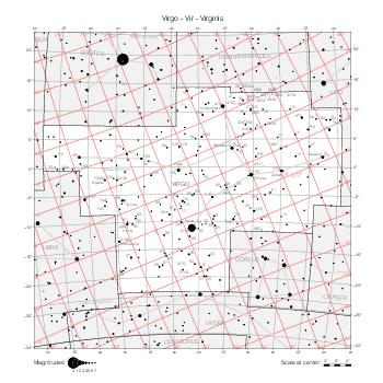
|
Libra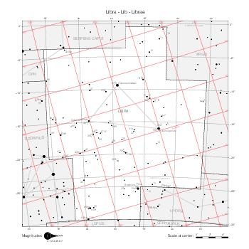
|
Scorpius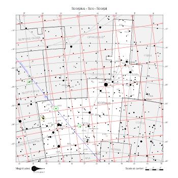
|
Sagittarius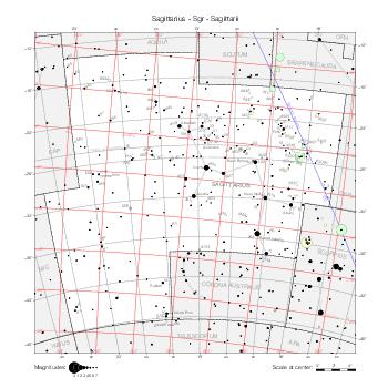
|
Capricornus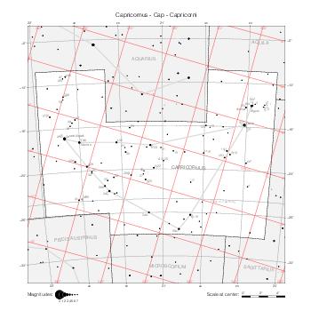
|
Aquarius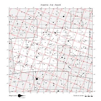
|
Pisces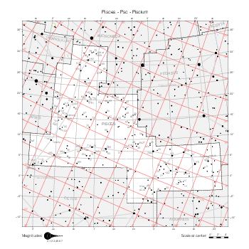
|
Southern constellations
Cetus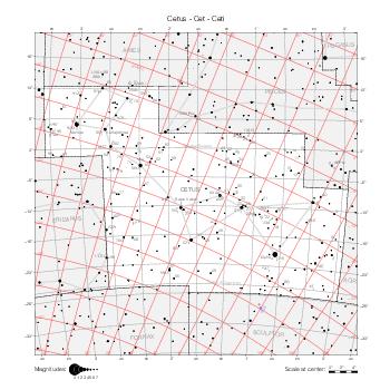
|
Orion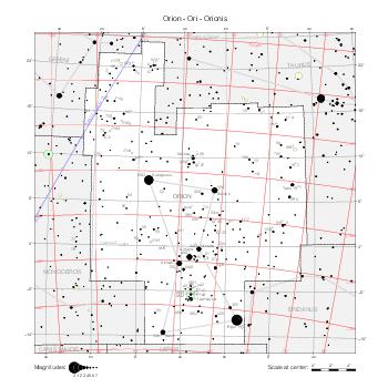
|
Eridanus (N)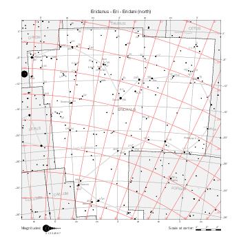
|
Eridanus (S)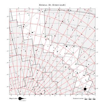
|
Lepus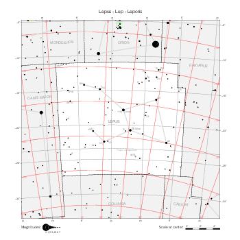
|
Canis Major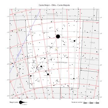
|
CMa (in Col)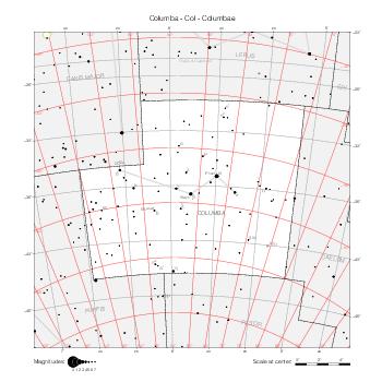
|
CMa (in Mon)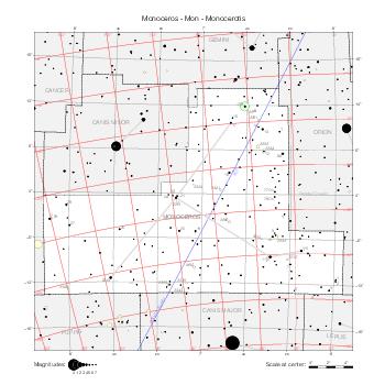
|
Canis Minor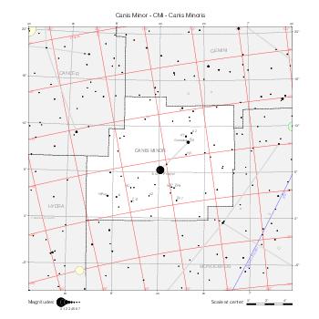
|
Navis (Puppis)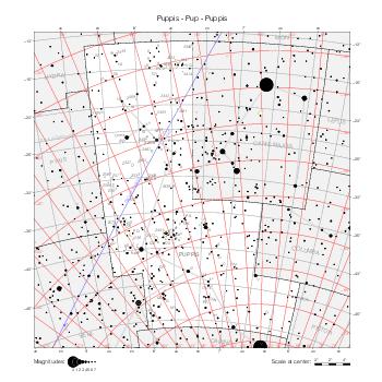
|
Navis (Vela)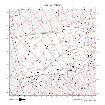
|
Navis (Carina)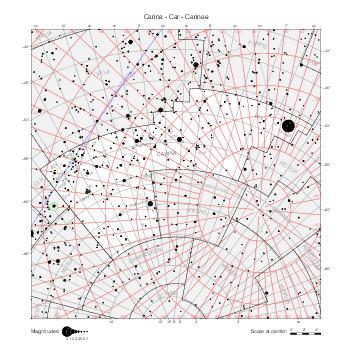
|
Hydra (West)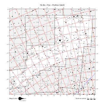
|
Hydra (East)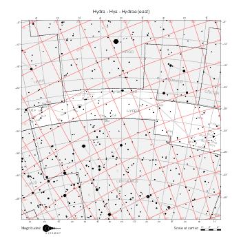
|
Crater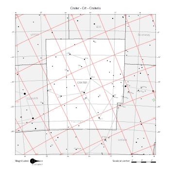
|
Corvus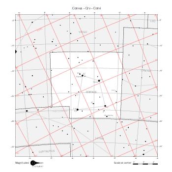
|
Centaurus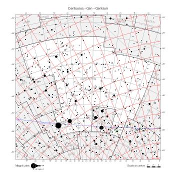
|
Lupus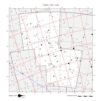
|
Ara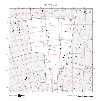
|
Corona Australis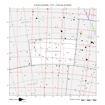
|
Piscis Austrinus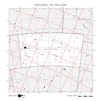
|
PsA (in Mic)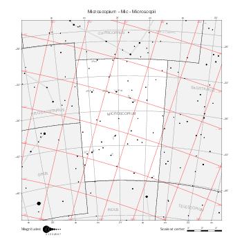
|
Maps by coordinate range
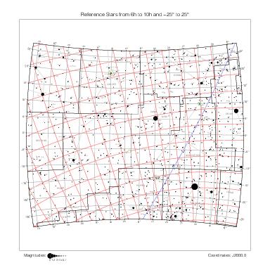
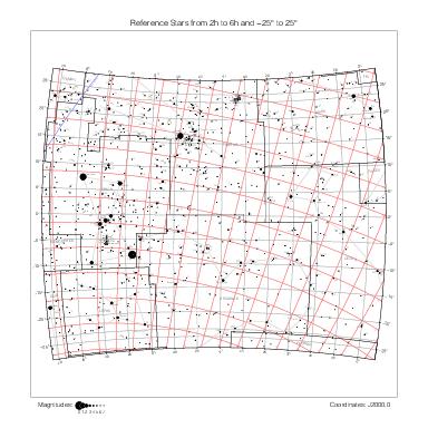
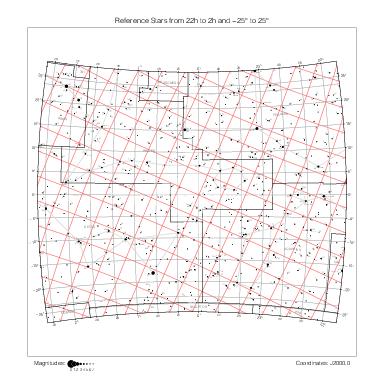
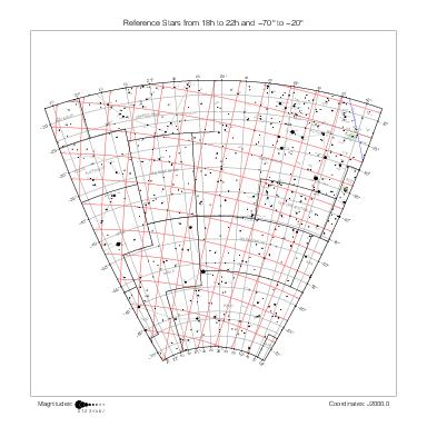
The maps below are delimited by equatorial coordinate lines (of the B1875.0 coordinate system) rather than by constellation boundaries. They show Ptolemy's stars in all constellations at the same time. They use the stereographic projection as well.
North Pole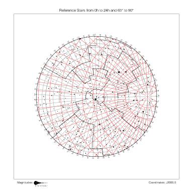
|
90° ~ 65° | |||||
| 22h ~ 18h | 18h ~ 14h | 14h ~ 10h | 10h ~ 6h | 6h ~ 2h | 2h ~ 22h | |
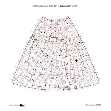
|
|
|
|
|
|
70° ~ 20° |
|
|
|
|
|
|
25° ~ -25° |
|
|
|
|
|
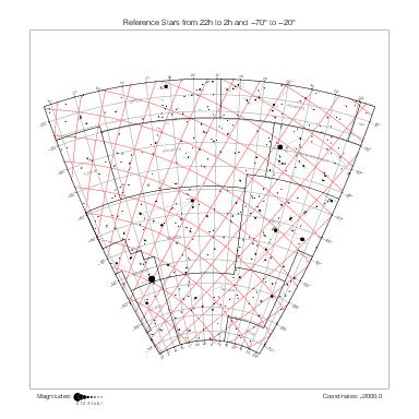
|
-20° ~ -70° |
| 22h ~ 18h | 18h ~ 14h | 14h ~ 10h | 10h ~ 6h | 6h ~ 2h | 2h ~ 22h | |
Maps by hemisphere
Many ancient star atlases (Bayer, Flamsteed, Hevelius, …) contain summary maps covering the northern and southern celestial hemispheres. In the same spirit, the maps below give an overall view of Ptolemy's catalog one hemisphere at a time, as seen from the six directions of the B1875.0 equatorial coordinate system (the reference for constellation boundaries). They use the azimuthal equidistant projection (the stereographic projection causes excessive distortion on the edges for this type of map).
North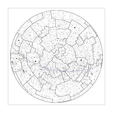
|
|||
Capricorn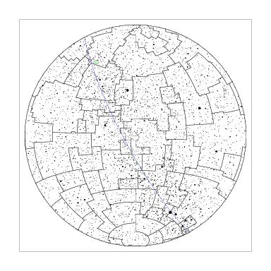
|
Libra
|
Cancer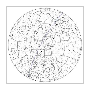
|
Aries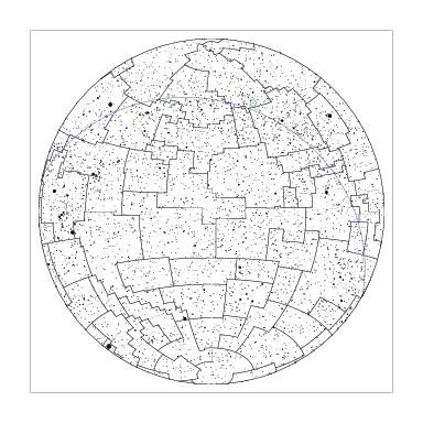
|
South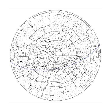
|
|||
The maps by German artist Albrecht Dürer (1471–1528) Imagines coeli Septentrionales cum duodecim imaginibus zodiaci and Imagines coeli Meridionales (available in high resolution here and here) represent the north and south views of Ptolemy's catalog in a similar way, with star numbers and the addition of constellation figures. They are centered on the ecliptic rather than equatorial poles and show the celestial sphere as seen from outside (on a globe).
References
[1] The star catalogues of Ptolemaios and Ulugh Beg by F. Verbunt and R. H. van Gent, Astronomy & Astrophysics, 455, A31 (2012).
[2] A. Jones, Eratosthenes, Hipparchus, and the obliquity of the ecliptic, Journal for the History of Astronomy, Vol. 33, Part 1, No. 110, pp. 15–19 (2002).
[3] Dennis Rawlins, An Investigation of the Ancient Star Catalog, Publications of the Astronomical Society of the Pacific, Vol. 94, p. 359, 1982.
[4] William B. Ashworth, Jr, Halley's Discovery of NGC 6231 and the Hazards of Early Star Nomenclature, Journal for the History of Astronomy, Vol. 12, pp. 1-10, 1981.