


Description
The main purpose of the star maps below is to represent all the lettered and numbered stars (stars with a Bayer/Lacaille letter or a Flamsteed number) in the J2000.0 equatorial and ecliptic coordinate systems.
Star set
The stars represented on the maps are the ones from the basic star set described on the Reference Star Set page, which consists of the Yale Bright Star Catalogue (novae and non-star objects excepted) augmented with the stars present in Flamsteed's star catalog but too faint to appear in the Bright Star Catalogue, and the few variable stars mentioned in Delporte's Atlas Céleste [2] but not in the Bright Star Catalogue, taken from the General Catalogue of Variable Stars .
All these stars have an entry in the Henry Draper catalog. The star positions and magnitudes come from the Hipparcos catalog or the SAO catalog. They were adjusted for the epoch J2000.0 according to proper motion and precessed to the J2000.0 equatorial coordinate system.
Star designations
The Bayer/Lacaille and Flamsteed designations have been updated according to Morton Wagman's book Lost Stars [1] in order to get a complete and hopefully accurate set of star letters and numbers. Due to the long history of these designations and the number of astronomers involved, there are many uncertain cases. I have erred on the side of caution, following Wagman's detailed explanations and using the SIMBAD service as a last resort.
Unlike the Bright Star Catalogue and other modern sources, I have retained Latin letter designations, including Bayer's capital A's. The maps show the stars' Bayer/Lacaille letters, Flamsteed numbers, and Argelander's variable star designations, if any. Sometimes on purpose and sometimes due to the fuzziness of constellation boundaries before their standardization in 1930, some stars have designations in more than one constellation. I have retained multiple designations for completeness.
Star names
The maps also show star names, in accordance with the IAU Catalog of Star Names (version 2018-09-07), except that Toliman (merged with Rigil Kentaurus), Proxima Centauri, Ogma, Barnard's Star, and Lich do not appear on the maps, and the names of the individual Pleiades and of θ2 Tauri (Chamukuy) have been omitted because they couldn't possibly fit.
NGC objects
Non-star objects come from the NGC2000 catalog (free to use for non-commercial purposes) for now (I plan to revisit the choice and representation of non-star objects in more depth as time permits). They are labeled by their Messier number if any, or NGC or IC number.
A handful of these objects have been assigned a Greek letter by Bayer. The letter is shown on the maps for M44 (Praesepe cluster, ε Cnc), NGC 869 (h Per), NGC 884 (χ Per), and NGC 5139 (ω Cen), even when the letter has been reassigned to a star by Flamsteed (ε Cnc and χ Per).
All the Messier objects are represented. Other NGC and IC objects are represented if they are at least 8 arcmin in diameter or brighter than the 8th magnitude. The dimensions and orientations of galaxies come from the Catalog of Principal Galaxies.
Legend
Stars and objects are represented by icons corresponding to their type, according to the following legend.
Also represented are constellation boundaries, coordinate lines of the J2000.0 equatorial system, ecliptic coordinate lines and zodiac points, the galactic equator and center, and the corresponding poles. The value for the obliquity of the ecliptic was computed for the J2000.0 epoch according to the IAU 2006 precession model; it is close to 23°26'21.41". The poles of the B1875.0 equatorial system are drawn as small black circles for reference (they appear on the Ursa Minor and Octans maps, among others).
Maps by constellation
The following maps are drawn in stereographic projection from the point of the celestial sphere antipodal to their center.
Each map is dedicated to one constellation. Some constellations require two maps: Serpens is split into Caput and Cauda as usual. Hydra is split into eastern and western halves and Eridanus is split into northern and southern halves in order to keep the scale reasonable.
Star designations are shown for stars and objects that fall within the boundary of the constellation covered by the map, and also for stars that have a designation pertaining to that constellation even if its position falls outside the modern constellation boundary. For instance, the star Elnath in the constellation Taurus is labeled 112 β Tau and 23 γ Aur on the Taurus and Auriga maps. Argelander variable star designations (one or two capital letters) from the Bright Star or Delporte catalog are also shown within the constellation.
Andromeda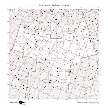
|
Antlia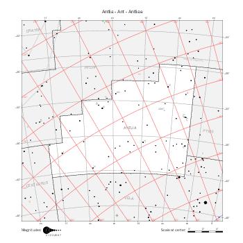
|
Apus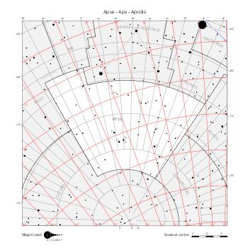
|
Aquarius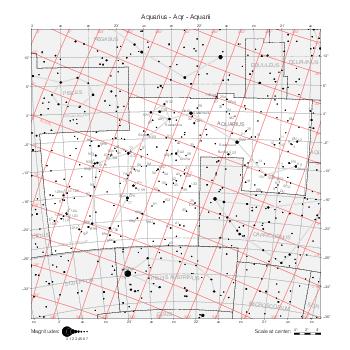
|
Aquila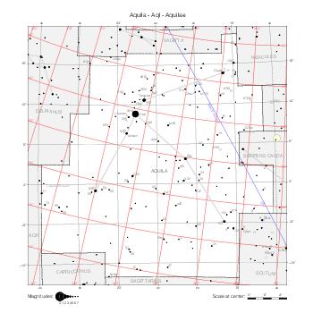
|
Ara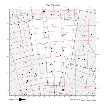
|
Aries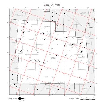
|
Auriga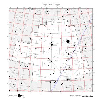
|
Boötes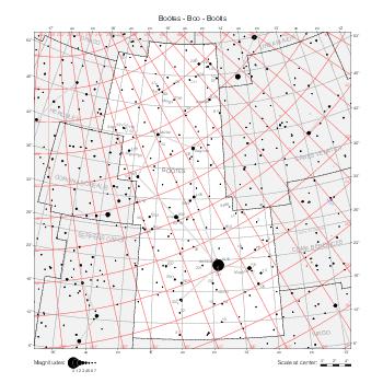
|
Caelum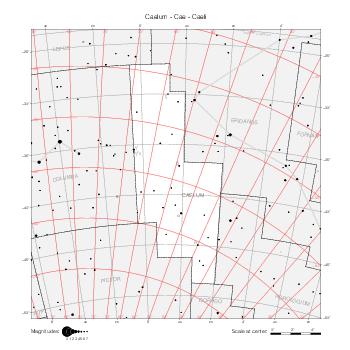
|
Camelopardalis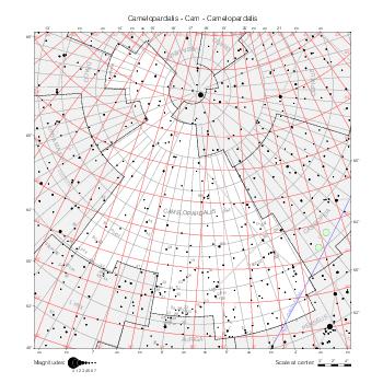
|
Cancer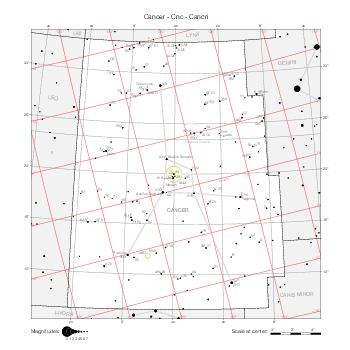
|
Canes Venatici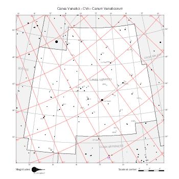
|
Canis Major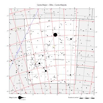
|
Canis Minor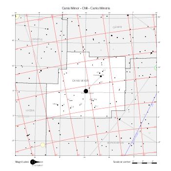
|
Capricornus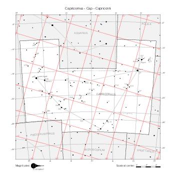
|
Carina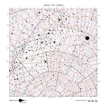
|
Cassiopeia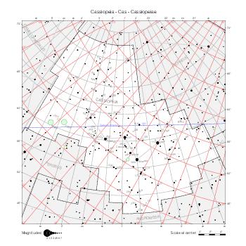
|
Centaurus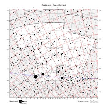
|
Cepheus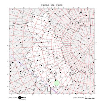
|
Cetus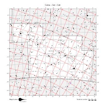
|
Chamaeleon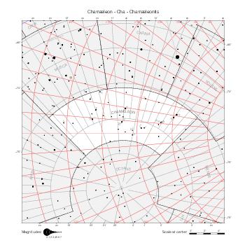
|
Circinus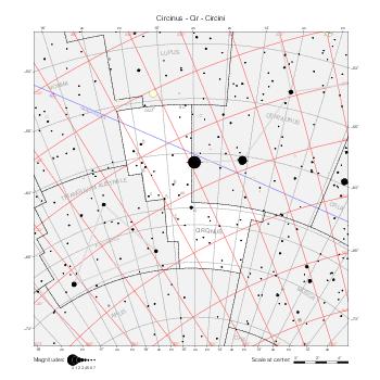
|
Columba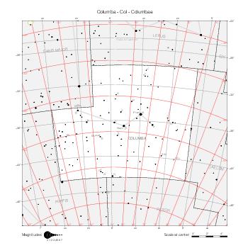
|
Coma Berenices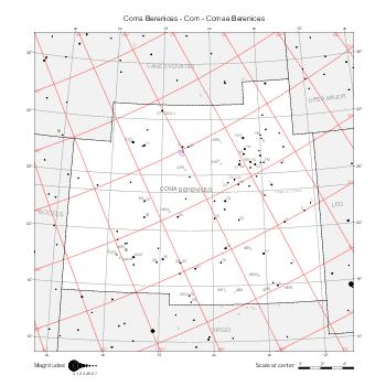
|
Corona Australis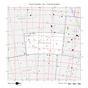
|
Corona Borealis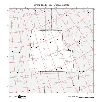
|
Corvus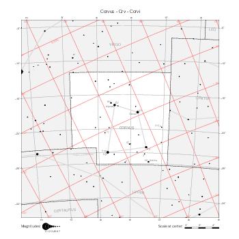
|
Crater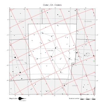
|
Crux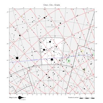
|
Cygnus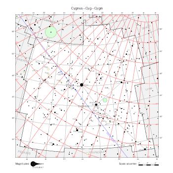
|
Delphinus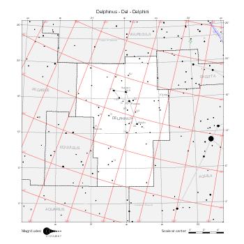
|
Dorado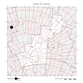
|
Draco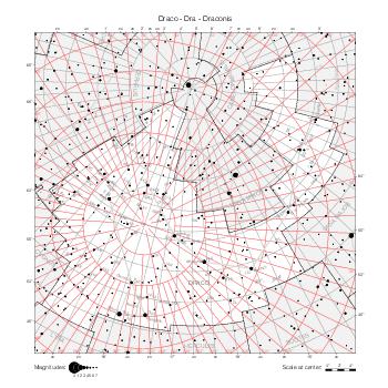
|
Equuleus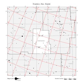
|
Eridanus (N)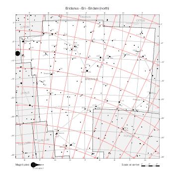
|
Eridanus (S)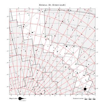
|
Fornax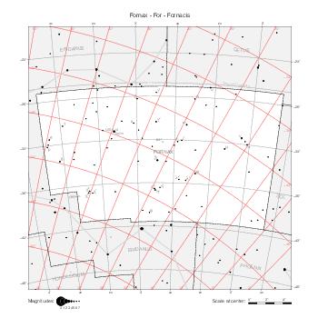
|
Gemini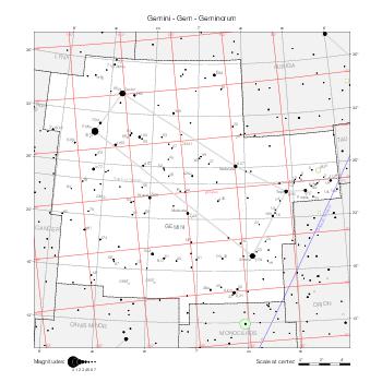
|
Grus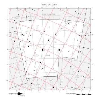
|
Hercules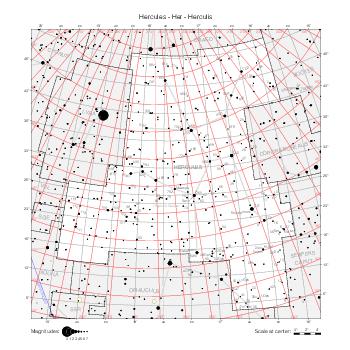
|
Horologium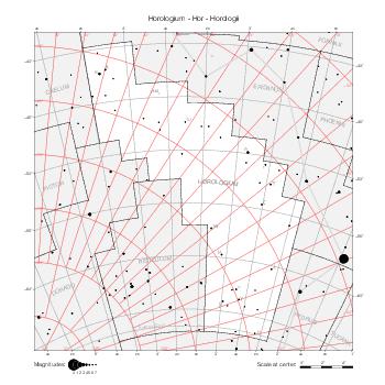
|
Hydra (W)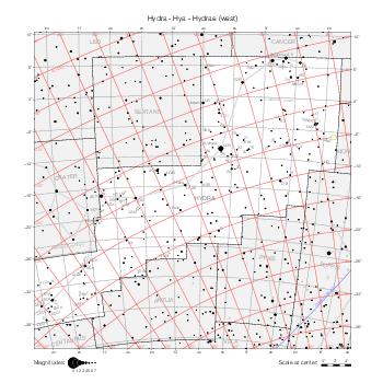
|
Hydra (E)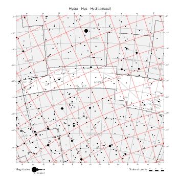
|
Hydrus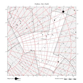
|
Indus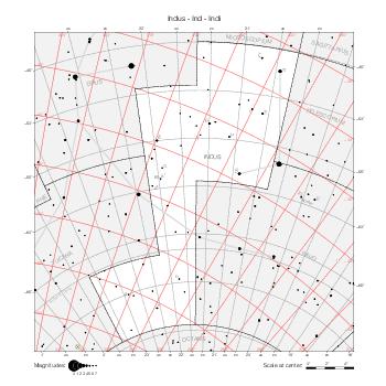
|
Lacerta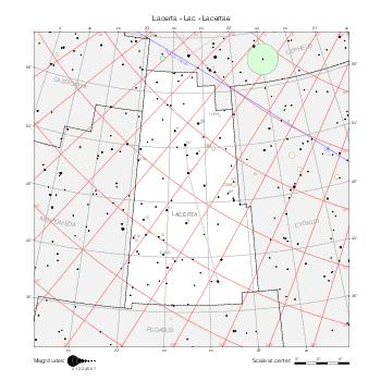
|
Leo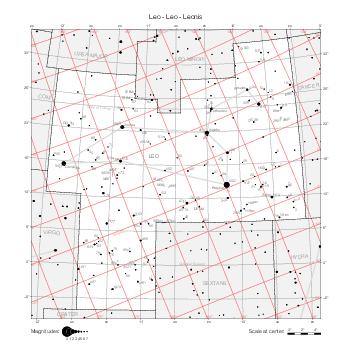
|
Leo Minor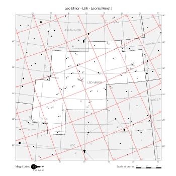
|
Lepus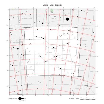
|
Libra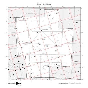
|
Lupus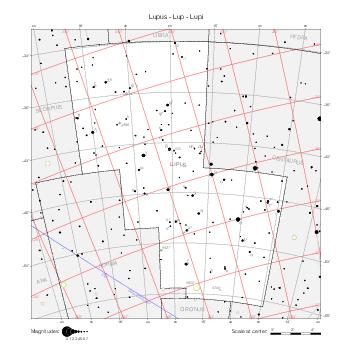
|
Lynx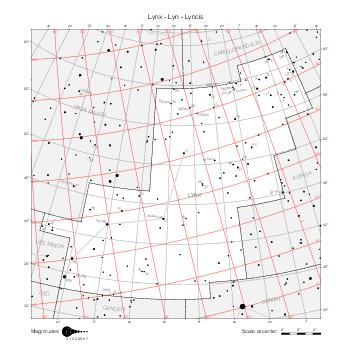
|
Lyra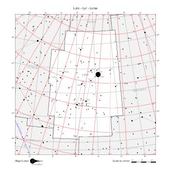
|
Mensa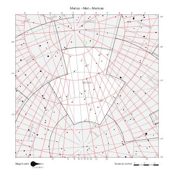
|
Microscopium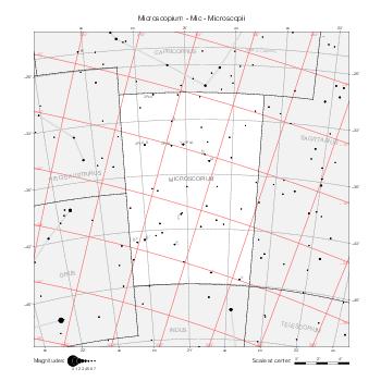
|
Monoceros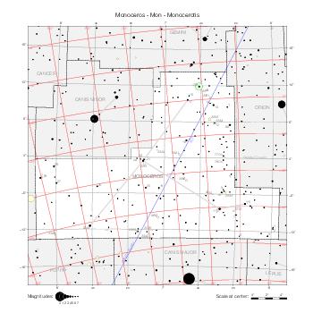
|
Musca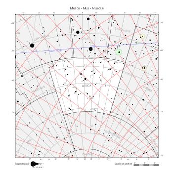
|
Norma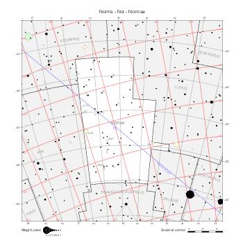
|
Octans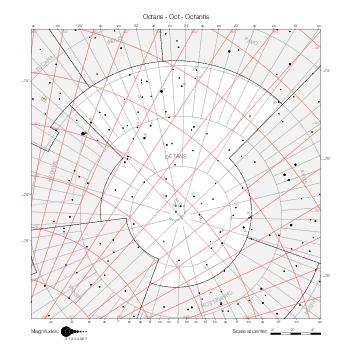
|
Ophiuchus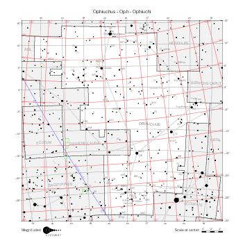
|
Orion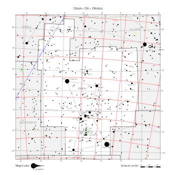
|
Pavo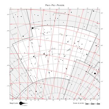
|
Pegasus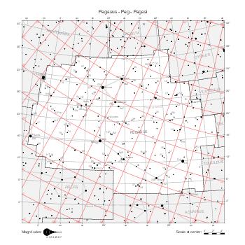
|
Perseus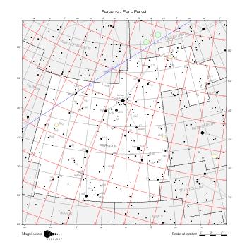
|
Phoenix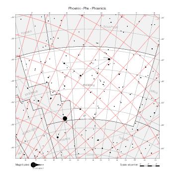
|
Pictor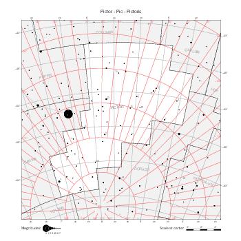
|
Pisces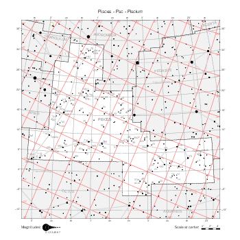
|
Piscis Austrinus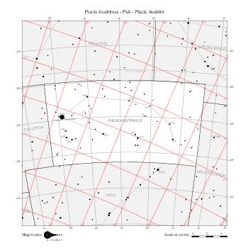
|
Puppis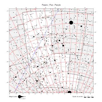
|
Pyxis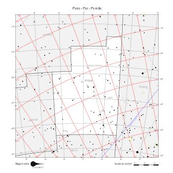
|
Reticulum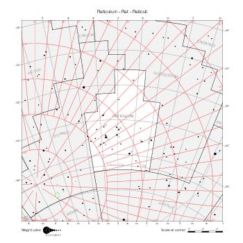
|
Sagitta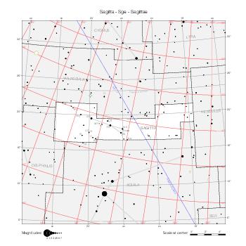
|
Sagittarius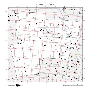
|
Scorpius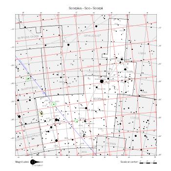
|
Sculptor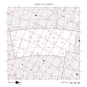
|
Scutum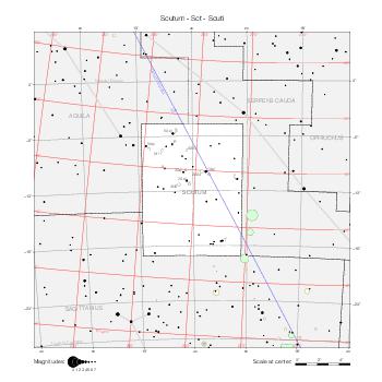
|
Serpens Caput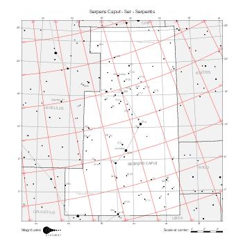
|
Serpens Cauda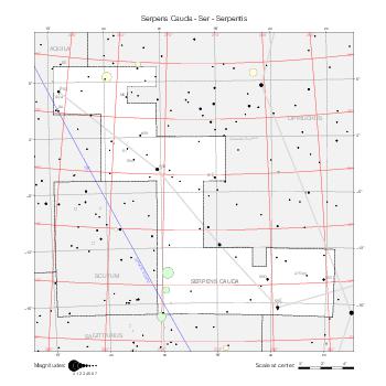
|
Sextans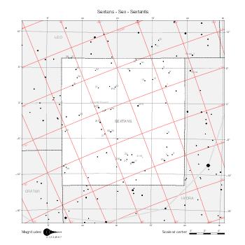
|
Taurus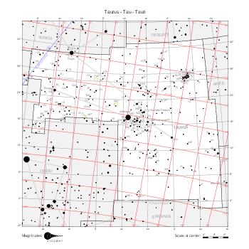
|
Telescopium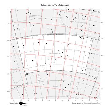
|
Triangulum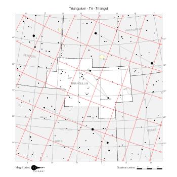
|
Triangulum Australe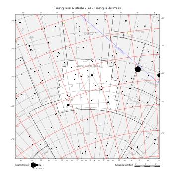
|
Tucana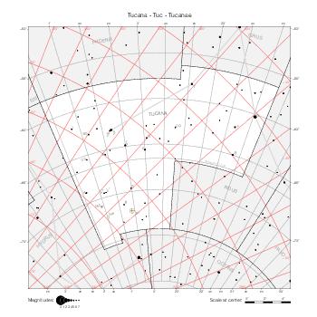
|
Ursa Major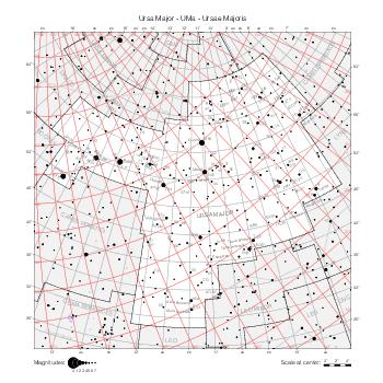
|
Ursa Minor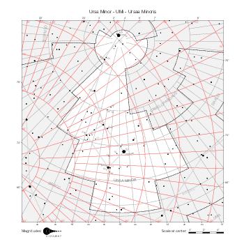
|
Vela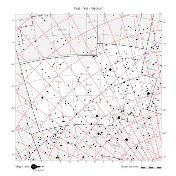
|
Virgo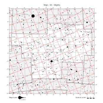
|
Volans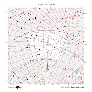
|
Vulpecula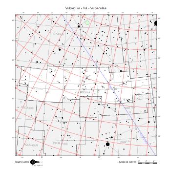
|
Maps by coordinate range
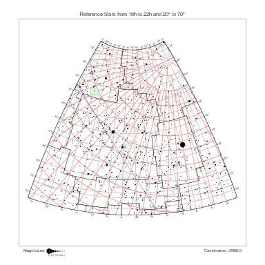
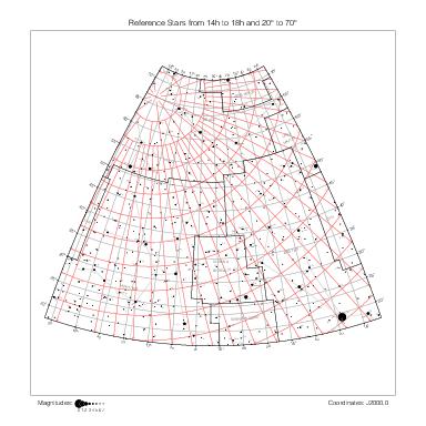
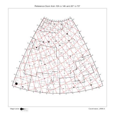
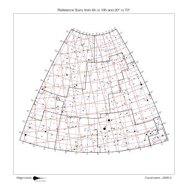
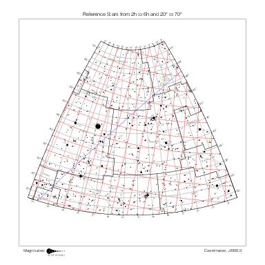
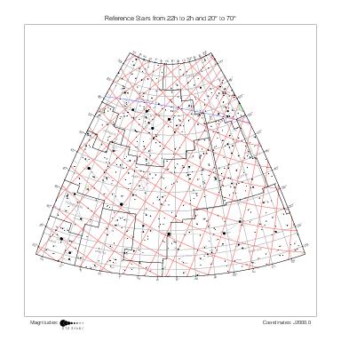
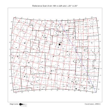
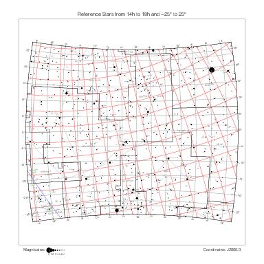
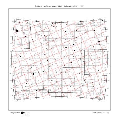
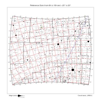
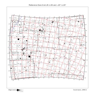
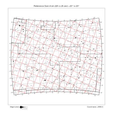
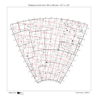
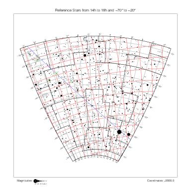
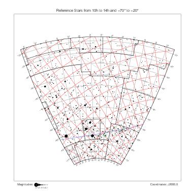
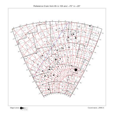
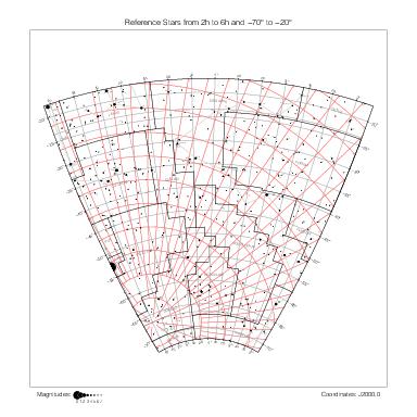
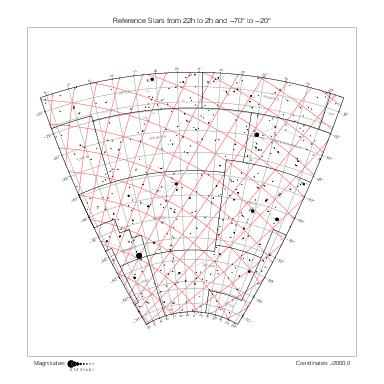
The maps below represent the same data, but they are delimited by equatorial coordinate lines rather than by constellation boundaries. They have the advantage of showing the star and object designations in all constellations at the same time and to represent all the constellations at the same scale (but for the distortion due to the projection). They use the stereographic projection as well.
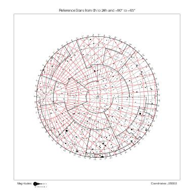
North Pole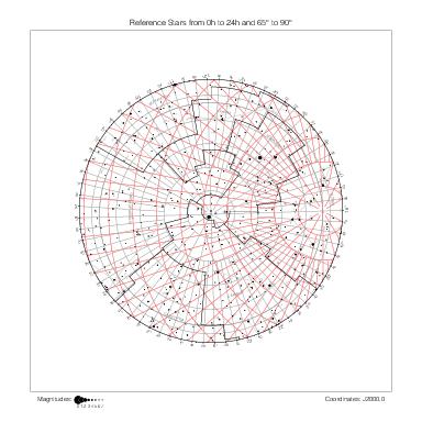
|
90° ~ 65° | |||||
| 22h ~ 18h | 18h ~ 14h | 14h ~ 10h | 10h ~ 6h | 6h ~ 2h | 2h ~ 22h | |
|
|
|
|
|
|
70° ~ 20° |
|
|
|
|
|
|
25° ~ -25° |
|
|
|
|
|
|
-20° ~ -70° |
| 22h ~ 18h | 18h ~ 14h | 14h ~ 10h | 10h ~ 6h | 6h ~ 2h | 2h ~ 22h | |
South Pole |
-65° ~ -90° | |||||
Maps by hemisphere
The following maps represent the same data again, this time one hemisphere at a time, as seen from the six directions of the equatorial coordinate system. They use the azimuthal equidistant projection, because in this situation the stereographic projection leads to excessive crowding around the center of the map.
North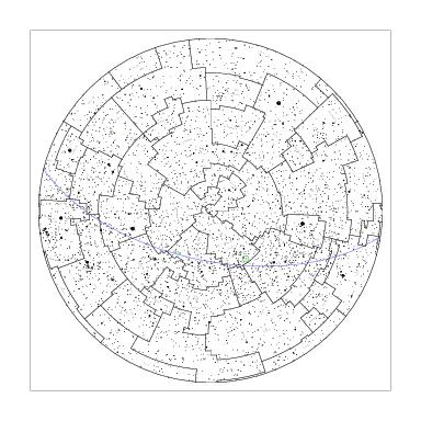
|
|||
Capricorn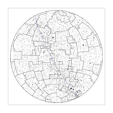
|
Libra
|
Cancer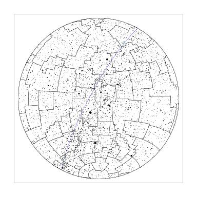
|
Aries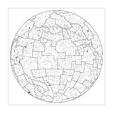
|
South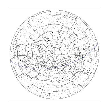
|
|||
References
[1] Morton Wagman, Lost Stars, McDonald & Woodward Publishing Company, Blacksburg, Virginia, 2003.
[2] Eugène Delporte, Atlas Céleste, Cambridge University Press, 1930.