


Description
The star maps below cover Hevelius's catalog in the equatorial and ecliptic coordinate systems corresponding to the catalog's equinox January 1st, 1661 (1660 Annum Completum) of the Gregorian calendar, or
| Julian Day | 2,327,729 |
| Besselian epoch | B1661.0043… |
| Julian epoch | J1661.0102… |
The ecliptic coordinate system uses the obliquity value computed for that epoch according to the IAU 2006 precession model, close to 23°29'00", which differs from Hevelius's value 23°30'20" used to compute the catalog's equatorial coordinates (according to Baily).
Map features
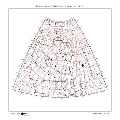
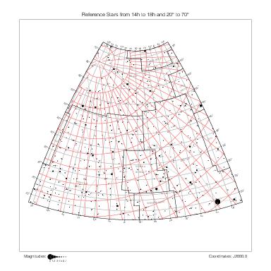
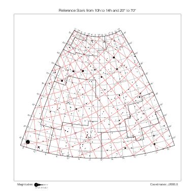
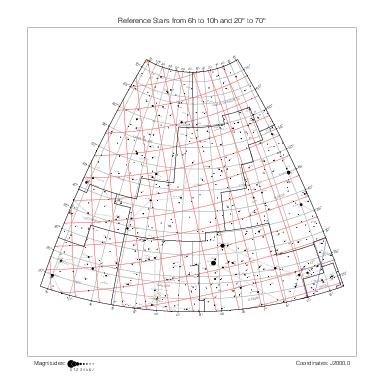
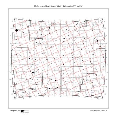
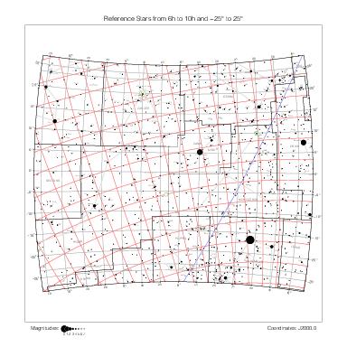
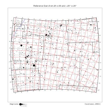
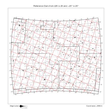
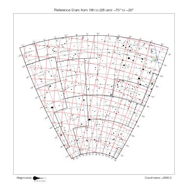
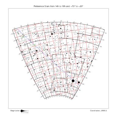
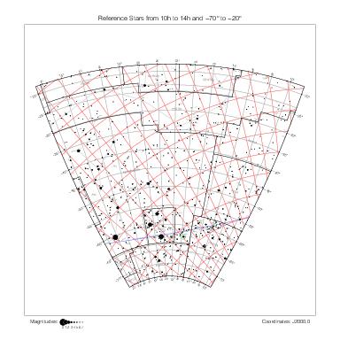
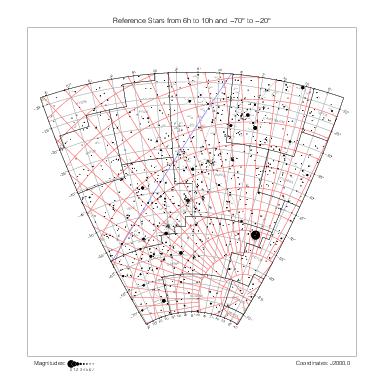
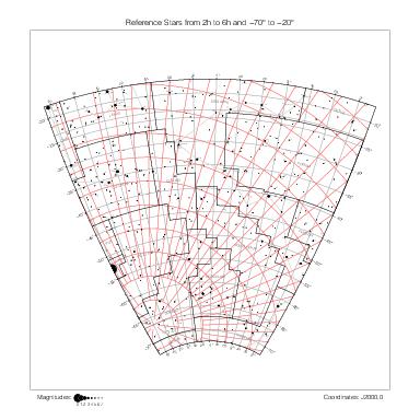
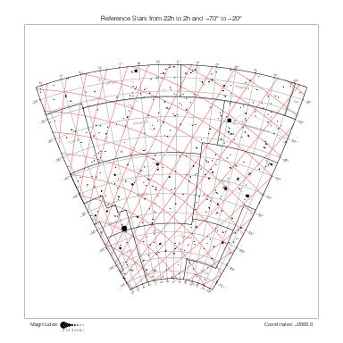
Catalog entries are represented according to Hevelius's ecliptic positions and magnitudes. Their representation and other features of the maps are described on the historical catalogs page.
Stars without Hevelius ecliptic coordinates are not represented. Stars without magnitude have been assigned the arbitrary magnitude 6 and nebulous objects the magnitude 3 for the sake of representation. Magnitudes given as a range have been "interpolated by thirds" so that the range 3-4 corresponds to the value 3.33 and 4-3 to 3.66, for instance. I have ignored the other complications of Hevelius's magnitude values (such as the imò and ferè qualifiers described in the notes.dat file).
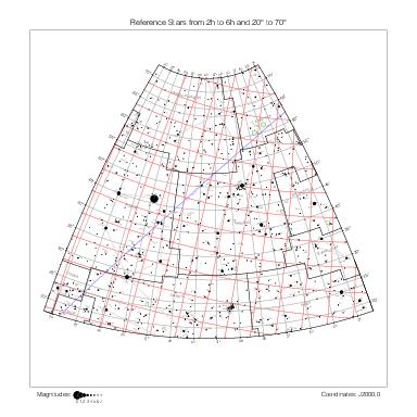
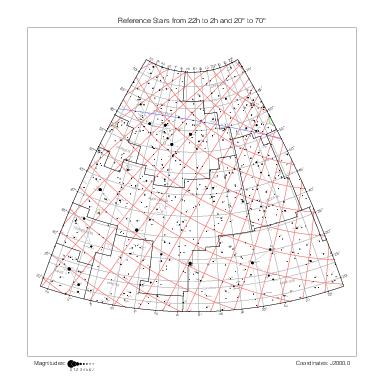
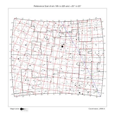
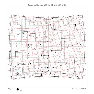
Hevelius stars are labeled with an optional constellation abbreviation and their number within their constellation acoording to both Hevelius's (in black) and Flamsteed's (in blue, if any) numberings, separated by a colon.
A dotted line connects catalog stars with corresponding reference stars according to the identifications collected in ident_o.dat (see the identifications page for details).
Maps by constellation
The maps are generally enumerated in the same order as the constellations in Hevelius's catalog, the alphabetical order (with Ophiuchus called Serpentarius). There are a few exceptions: Antinous is merged with Aquila, Cerberus is merged with Hercules, and Triangulum Minus is merged with Triangulum.
Andromeda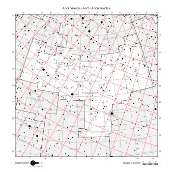
|
Aquarius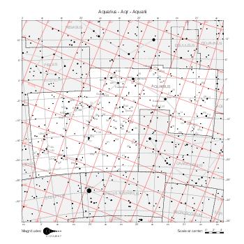
|
Aquila & Antinous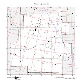
|
Aries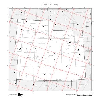
|
Auriga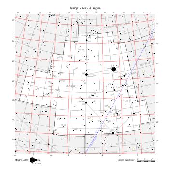
|
Boötes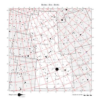
|
Cancer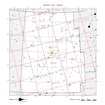
|
Canis Major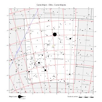
|
Canis Minor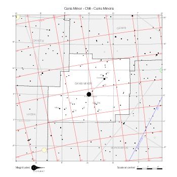
|
Canes Venatici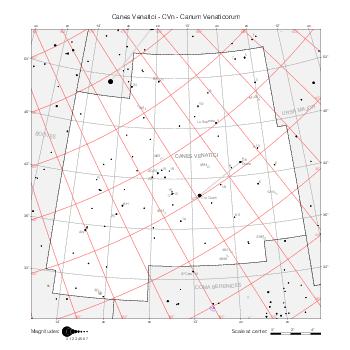
|
Camelopardalis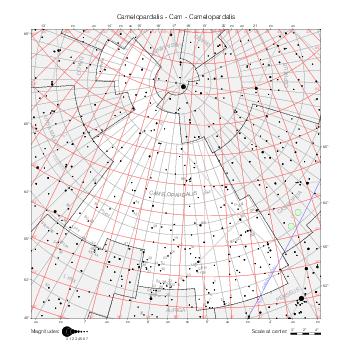
|
Capricornus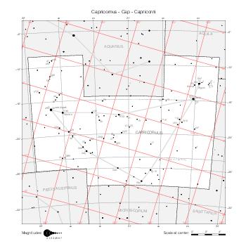
|
Cassiopeia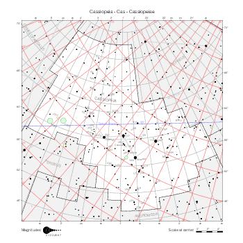
|
Cepheus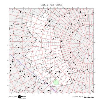
|
Cetus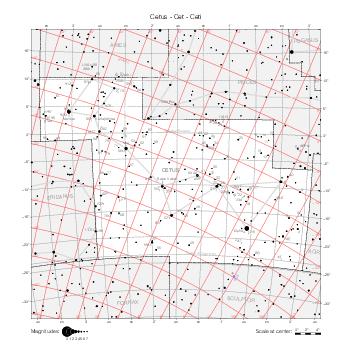
|
Coma Berenices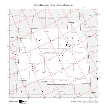
|
Corona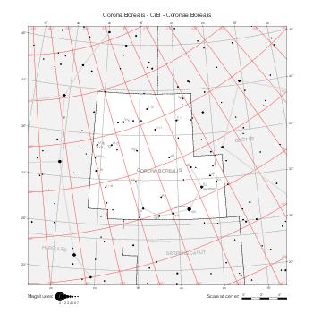
|
Corvus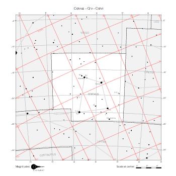
|
Crater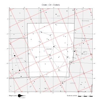
|
Cygnus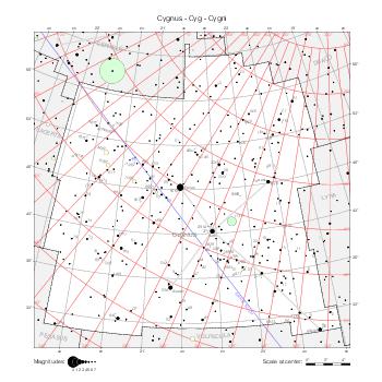
|
Delphinus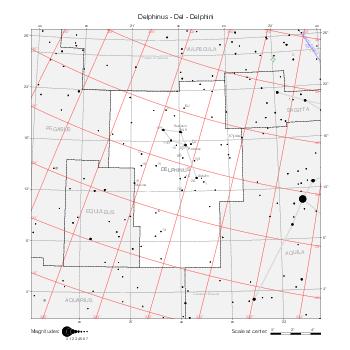
|
Draco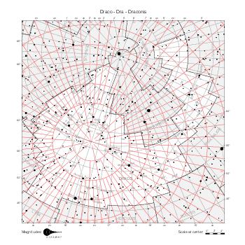
|
Equuleus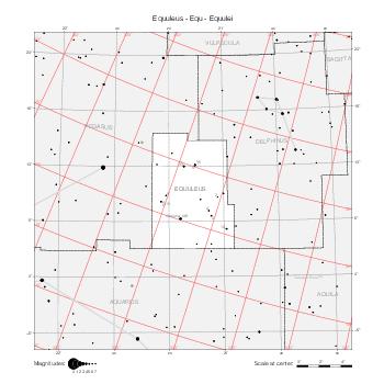
|
Eridanus (North)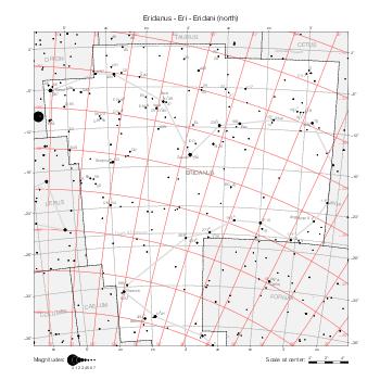
|
Gemini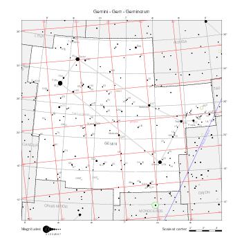
|
Hercules & Cerberus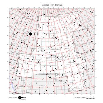
|
Hydra (West)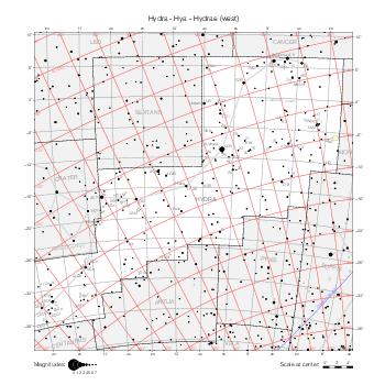
|
Hydra (East)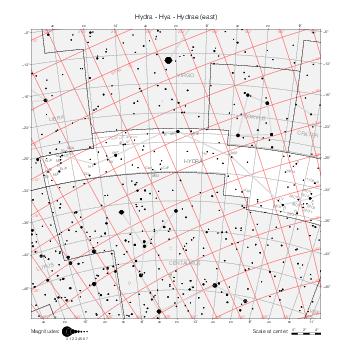
|
Lacerta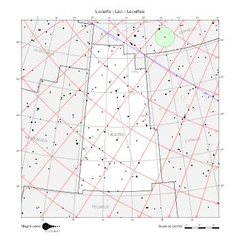
|
Leo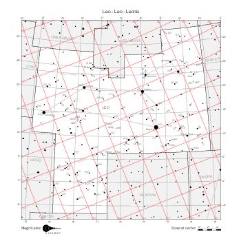
|
Leo Minor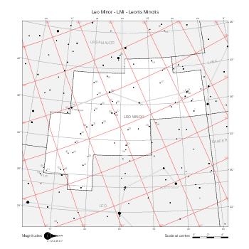
|
Lepus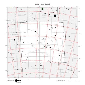
|
Libra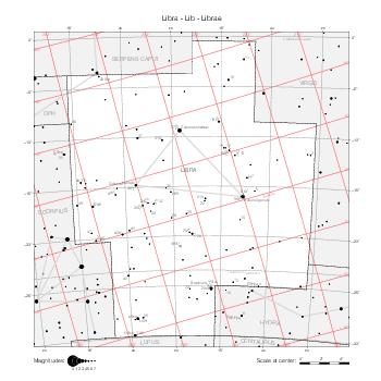
|
Lynx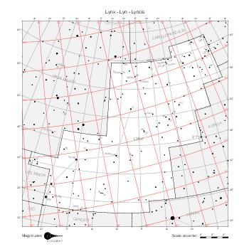
|
Lyra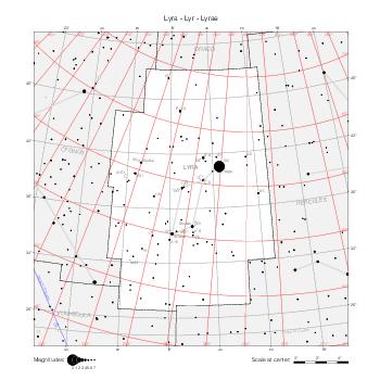
|
Monoceros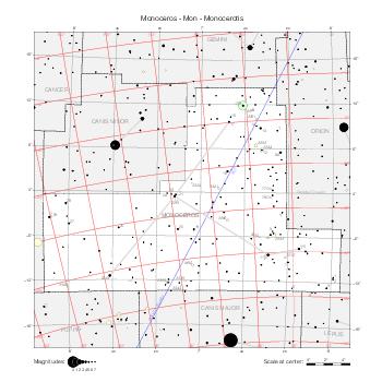
|
Navis (Puppis)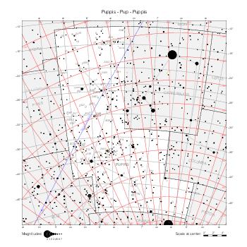
|
Orion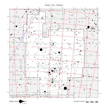
|
Pegasus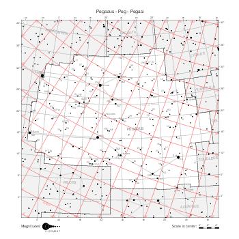
|
Perseus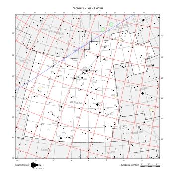
|
Pisces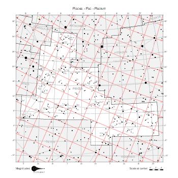
|
Sagitta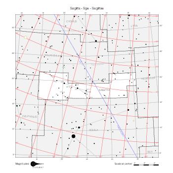
|
Sagittarius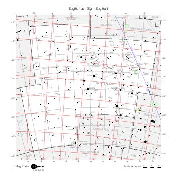
|
Scorpius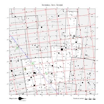
|
Scutum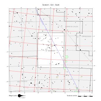
|
Serpentarius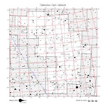
|
Serpens (Caput)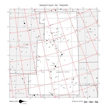
|
Serpens (Cauda)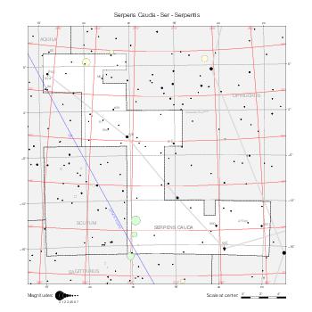
|
Sextans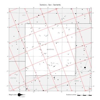
|
Taurus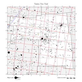
|
Tri & Tri Minus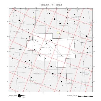
|
Virgo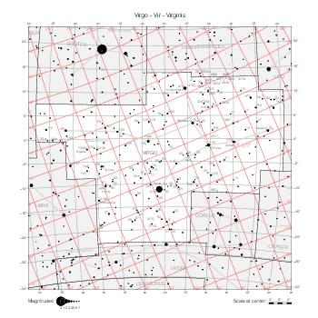
|
Ursa Major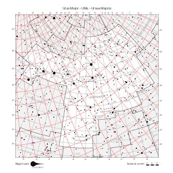
|
Ursa Minor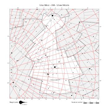
|
Vulpecula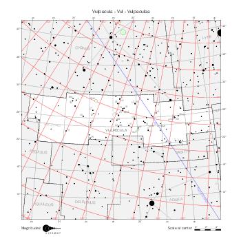
|
Maps by coordinate range
The maps below represent the same data, but they are delimited by equatorial coordinate lines (of the B1875.0 equatorial coordinate system, the reference for constellation boundaries). They show the star labels in all constellations at the same time. They use the stereographic projection as well.
North Pole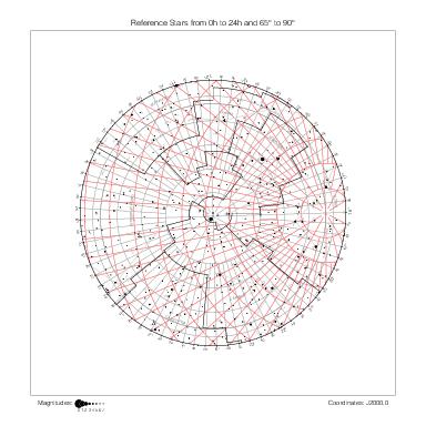
|
90° ~ 65° | |||||
| 22h ~ 18h | 18h ~ 14h | 14h ~ 10h | 10h ~ 6h | 6h ~ 2h | 2h ~ 22h | |
|
|
|
|
|
|
70° ~ 20° |
|
|
|
|
|
|
25° ~ -25° |
|
|
|
|
|
|
-20° ~ -70° |
| 22h ~ 18h | 18h ~ 14h | 14h ~ 10h | 10h ~ 6h | 6h ~ 2h | 2h ~ 22h | |
Maps by hemisphere
The maps below give an overall view of Hevelius's catalogs one hemisphere at a time.
They are centered on the six main directions of the B1875.0 equatorial coordinate system, the reference for constellation boundaries, and show the same contents as the maps above. They use the azimuthal equidistant projection.
North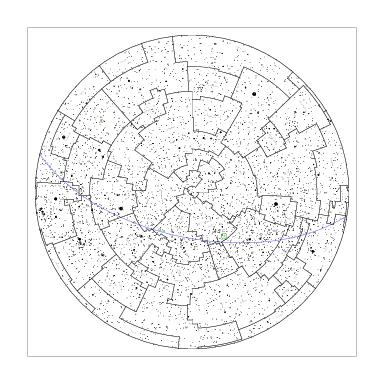
|
|||
Capricorn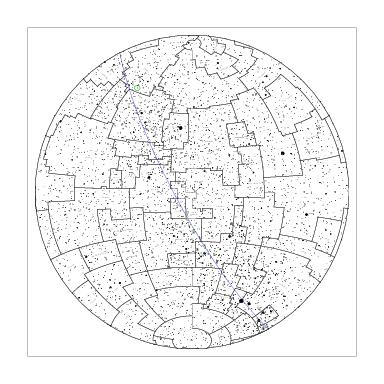
|
Libra
|
Cancer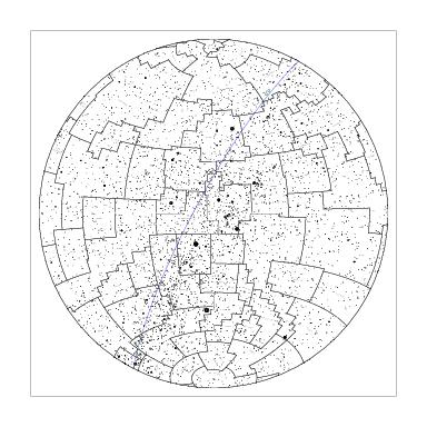
|
Aries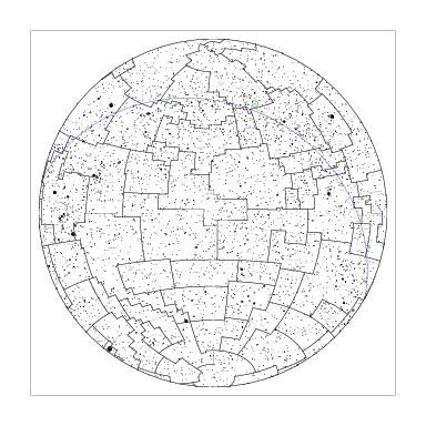
|
South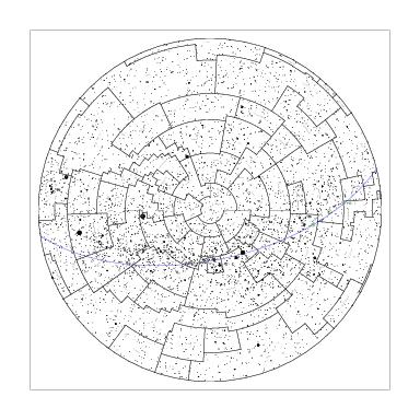
|
|||